 GéoGuyane
imageryBaseMapsEarthCover
Domaines
Harvested
Provided by
Type of resources
Available actions
Topics
Keywords
Contact for the resource
Provided by
Years
Formats
Representation types
Update frequencies
status
Scale
Resolution
-
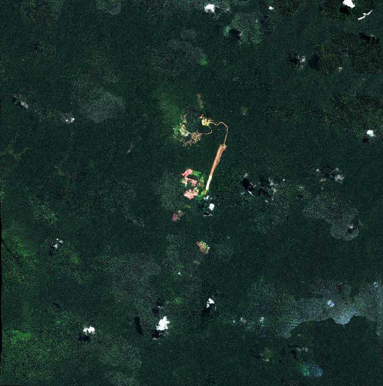
Subset of the Pléiades image that covers the experimental station Paracou in French Guiana.
-

Orthophotographie aérienne de la commune de Kourou, secteur du bourg.
-

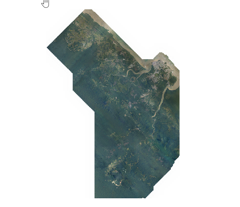
Orthophotographie aérienne de la commune d'Apatou, secteur Maiman - Malieti.
-
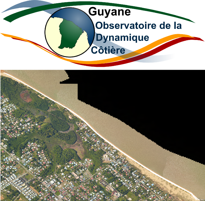
Orthophotographie des Salines, réalisée par l’Observatoire de la Dynamique Côtière de Guyane. A partir de survol drone, des images aériennes sont acquises pour créer des Orthophotographies et in fine des Modèles Numériques de Terrain (MNT). La donnée correspond au survol des Salines, à Rémire-Montjoly, en septembre 2018.
-
Orthophotographie aérienne couleur à 20 cm de résolution produite dans le cadre d'une campagne d'acquisition de données réalisée par l'EPFA Guyane en 2019.
-
Le produit ORTHO-SATELLITE de l'IGN est une base de donnée d'ortho-images satellitaires, dérivées des images acquises par les satellites sub-métriques tels que PLEIADES 1A et 1B, WORLDVIEW-2. La zone 8 correspond au bourg de Saül. Qualité radiométrique médiocre, avec une forte saturation et des effets de "flou" sur une partie du bourg.
-
Délimitation de la tâche urbaine à partir de la BD Ortho® historique Guyane 1950. Il est à noter que l'interprétation a parfois été délicate en raison de la qualité (noir et blanc) et de la résolution de la mosaïque utilisée.
-

Affleurements rocheux numérisés sur images LANDSAT et SPOT. © Photo PAG
-

Dans le cadre de l'appel à projet SEAS phase II, l'AUDeG, la DEAL, la DAAF se sont associés à l'ONF et au PAG pour apporter une expertise technique visant à : - améliorer les nomenclatures de ces deux producteurs de couches d'occupation des sols dans leurs thématiques respectives (à savoir zones urbanisées, zones naturelles et zones agricoles), - produire une nomenclature commune. L'objectif principal du projet était d’évaluer la faisabilité de la mise en place d’une chaîne de traitement associant divers partenaires, chacun intervenant sur son champ thématique. La série de données présente le fruit du travail de l'AUDeG sur une zone test d'environ 900 hectares. L'image source utilisée est une image Pléïade du 8/10/2014.
-

Orthophotographie aérienne de la commune d'Apatou, secteur Grand-Kialiondo - La Forestière.