 GéoGuyane
environment
Domaines
Harvested
Provided by
Type of resources
Available actions
Topics
Keywords
Provided by
Years
Formats
Representation types
Update frequencies
status
Scale
Resolution
-
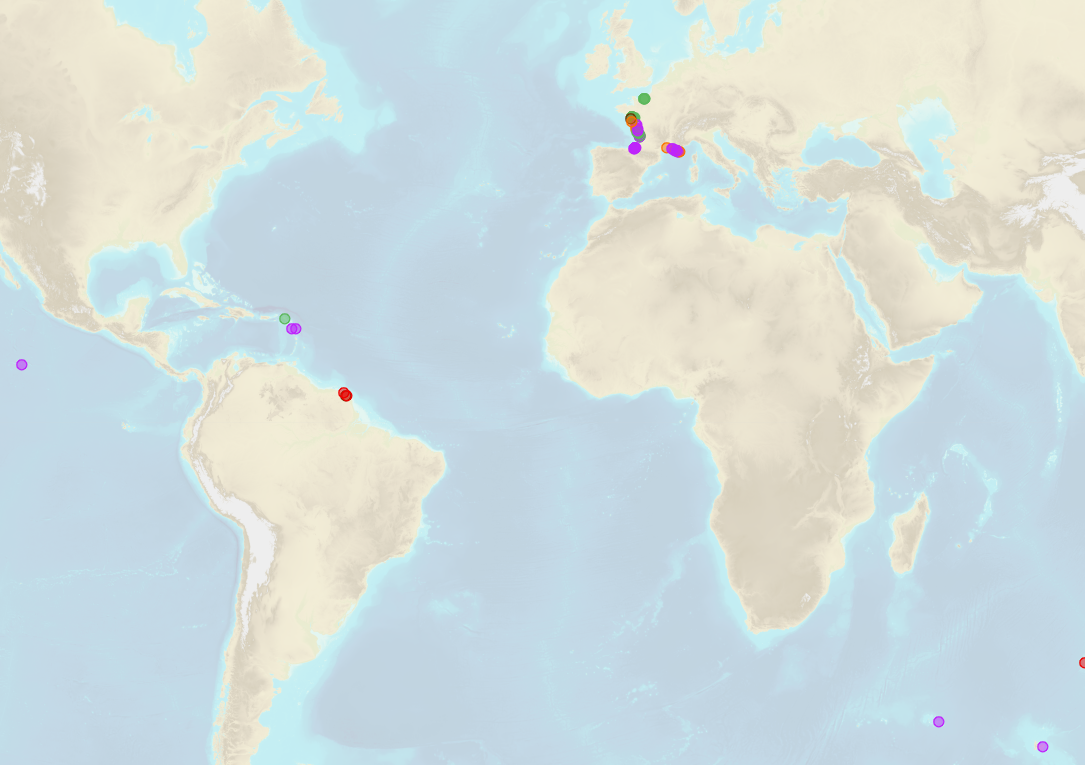
Shom is the national referent for the level of the sea in situ on all areas under French jurisdiction. In this capacity, he assures under the acronym REFMAR different coordination functions in the collection and dissemination of public data related to water level observations, in order to promote their use in multiple applications within the framework of international recommendations.
-

Shom manages a network of permanent digital coastal tide-gauges on French coasts: the RONIM Sea Level Observation Network. Most tide-gauge observatories are partnered with one or more local partners.<br /><br /> Four main types of data are available for download:<br /> - “Raw high frequency" data: raw observations neither validated nor evaluated, obtained directly from the sensor. 1-minute measurement; integration time 15 seconds (on the minute); sampling period: 1 second.<br /><br /> - "Raw non-real time" data: raw observations neither validated nor evaluated, obtained directly from the sensor. 10-minute measurement; integration time 121 seconds (around every 10 minutes); sampling period: 1 second.<br /><br /> - "Validated non-real time" data: observations checked and validated by Shom from the "Raw non-real time" data. 10-minute measurement; integration time 121 seconds (around every 10 minutes); sampling period: 1 second.<br /><br /> - "Validated hourly" data: observations checked and validated by Shom, generated from "Validated non-real time" data. Hourly measurement obtained from the Vondrak filter with triangular weighting. The hourly height cannot be calculated in the event of an observation gap greater than 1.5 hours.
-
Emprise vectorielle de la zone strictement informée (hors NO DATA). Pourcentage de couverture des communes : - MARIPASOULA : 1 %
-
Résumé.
-
Emprise vectorielle de la zone strictement informée (hors NO DATA). Pourcentage de couverture des communes : - KOUROU : 6 % - IRACOUBO : 1 % - SINNAMARY : 17 %
-

Produits composant cette donnée : - emprise vectorielle de la zone informée - image multispectrale à 0,5 m - flux WMS à 0,5 m Pourcentage de couverture des communes : - MARIPASOULA : 2 %
-

Produits composant cette donnée : - emprise vectorielle de la zone informée - image multispectrale à 0,5 m - flux WMS à 0,5 m Pourcentage de couverture des communes : - KOUROU : 11 %
-

Production Guyane SIG à usage technique d'un flux WMS exploitant les bandes RVB de l'ortho-image multi-spectrale à 1,5 m après seuillage et conversion en 8 bits. Pourcentage de couverture des communes : - AWALA YALIMAPO : 56 % - MANA : 4 %
-

Image multispectrale à 0,5 m / 16 bits / 4 bandes. Pourcentage de couverture des communes : - SAINT ELIE : 5 %
-

Production Guyane SIG à usage technique d'un flux WMS exploitant les bandes RVB de l'ortho-image multi-spectrale à 1,5 m après seuillage et conversion en 8 bits. Pourcentage de couverture des communes : - REGINA : 1 %