 GéoGuyane
Institut de recherche pour le développement (IRD)
Domaines
Harvested
Provided by
Type of resources
Available actions
Topics
Keywords
Contact for the resource
Provided by
Years
Formats
Representation types
Update frequencies
status
Scale
Resolution
-
Subset of the Pléiades image that covers the experimental station Paracou in French Guiana.
-
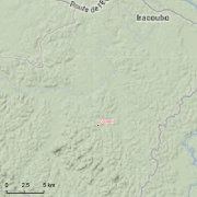
Guyadiv is a network of permanent forest plots installed in French Guiana. The site of Guyadiv in Counami is composed of 19 1200sq.m-plots. A complete inventory has been made on these plots, during 3 inventory sessions in 2000, 2001 and 2002. 1743 trees have been inventoried, with 92,2% to 100% of trees identified to species level. We only have the point coordinates and not the precise demarcation of the sample plots. In order to calculate the bounding box for these plots, we have expanded the point location 500 meters in each direction.
-
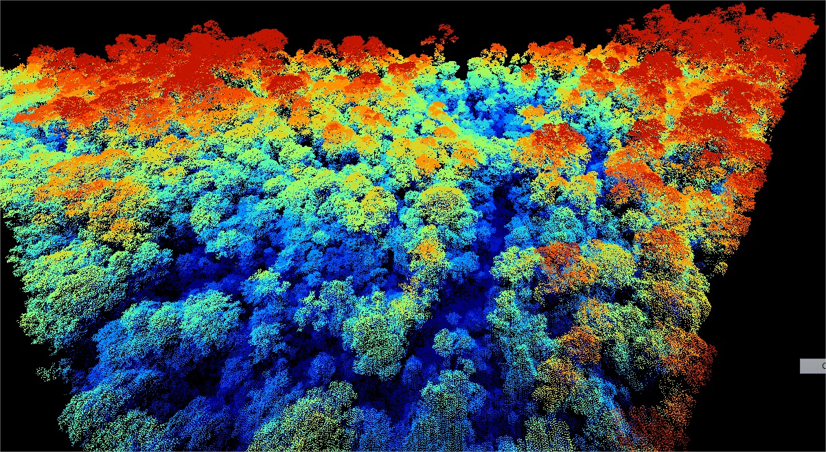
Emprises des acquisitions LIDAR effectuées par la société ALTOA dans le cadre du projet DYNFORDIV. Ce projet cherche à analyser les structure forestière de Guyane, il est porté par l'IRD en partenariat avec le Parc amazonien de Guyane, l'ONF, et l'AMAP. Ces emprises représentes 2 acquisitions: - La montagne Bellevue de l'Inini : 04/08/2014 - Western transect point density: all returns 17.05 last only 9.83 (per square units). Eastern transect point density: all returns 16.83 last only 10.28 (per square units). Lidar Riegl LMS Q560 onboard a plane operated by Altoa, swath angle +/-20deg - Le mont Itoupé : 07-08/08/2014 - (total covered area = 72 km²). Based on sample tiles (45, 70,192, 201, 256), the mean emitted pulse density is ~12/m², and the mean echo density ~ 19/m². Lidar Riegl LMS Q560 aboard a plane operated by Altoa
-
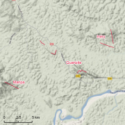
The site Quartzites is composed of two 3km-transects (20m wide). 2638 trees with dbh>=20cm have been recorded by Office national des forêts (ONF). No fauna inventories available. 276 under-storey plants have been recorded on 17 25m²-plots by Institut de recherche pour le développement (IRD). Soils have been described using 13 samples (1.20m depth max.) and two soil pits (1.50m depth). Laboratory analyses are available for one profile and for the two soil pits