 GéoGuyane
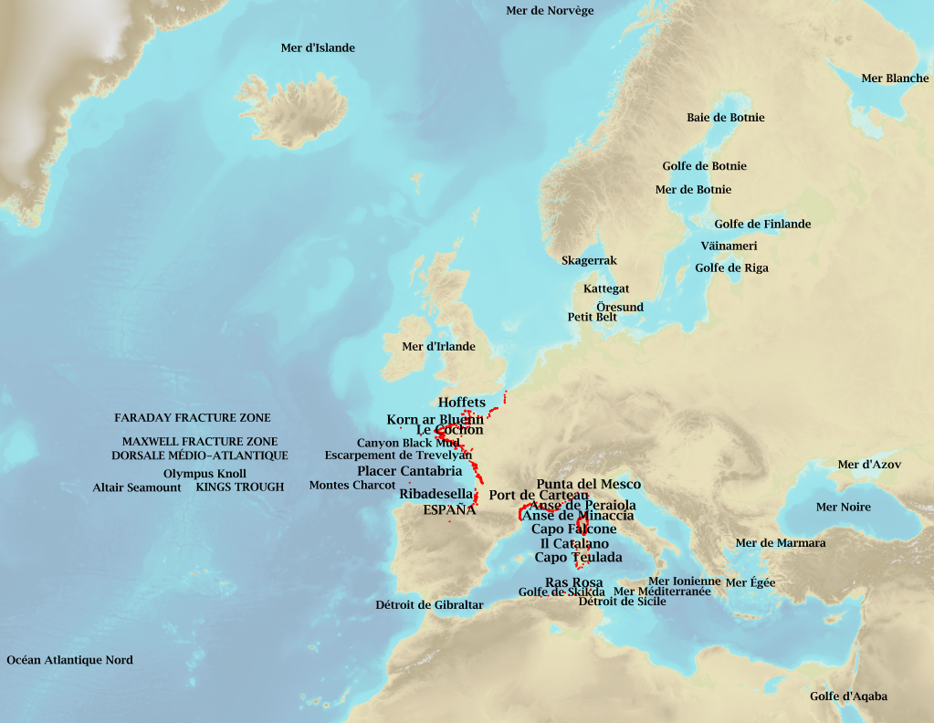
Sea and coastal names worldwide
Marine toponymy data layer obtained from French ENC and created using the S23 (4th edition, June 2002). Note: The usual Sea of Japan designation does not imply taking a stand in the dispute between Korea, which names this sea "East Sea", and Japan, which names it "Sea of Japan".
Simple
- Date (Creation)
- 2013-11-29
- Citation identifier
- http://www.shom.fr/BDML/TOPONYMES
- Point of contact
-
Organisation name Individual name Electronic mail address Role Shom
Owner
- Theme
-
-
toponymy
-
sea
-
ocean
-
citys
-
geographical names
-
Product
-
-
GEMET - INSPIRE themes, version 1.0
-
-
Geographical names
-
- Use limitation
-
Public license Creative Commons Attribution-ShareAlike 4.0 International (CC BY-SA 4.0)
- Use limitation
-
Do not use for navigation
- Use limitation
-
Public license Creative Commons Attribution-ShareAlike 4.0 International (CC BY-SA 4.0)
- Access constraints
- License
- Use constraints
- Other restrictions
- Other constraints
-
No public access restrictions
- Classification
- Unclassified
- Spatial representation type
- Vector
- Language
- Français
- Character set
- UTF8
- Topic category
-
- Oceans
))
- Reference system identifier
- EPSG / WGS 84 (EPSG:4326) / 7.4
- Distribution format
-
Name Version SHP
-
- Distributor contact
-
Organisation name Individual name Electronic mail address Role Shom
Distributor
- OnLine resource
-
Protocol Linkage Name WWW:LINK-1.0-http--link
https://data.shom.fr Shom Geoportal
OGC:WMS
https://services.data.shom.fr/INSPIRE/wms/v?service=WMS&request=GetCapabilities&version=1.3.0 GN.GeographicalName
WWW:LINK-1.0-http--link
https://diffusion.shom.fr/pro/toponymes.html Shom marketplace
- Hierarchy level
- Dataset
Conformance result
- Date (Publication)
- 2010-05-03
- Explanation
-
Information sur la conformité de la ressource à une spécification (INSPIRE)
- Pass
Conformance result
- Date (Publication)
- 2011-10-23
- Explanation
-
Information sur la conformité au règlement d'interopérabilité des séries et des services de données géographiques.
- Pass
- No
- Statement
-
ENC toponymy export using CARIS HPD, merger and post-editing using ArcGIS 9.3. The following ENC were used: FR301020,FR303150,FR303160,FR303180,FR303190,FR166230,FR200010,FR474170,FR270140,FR571230
-FR402050, FR301010, FR301030, FR301040, FR302030, FR302040, FR302050, FR302080, FR302090, FR303010, FR303030, FR303040, FR366800, FR368240, FR368570, FR369300, FR369400, FR369410, FR369510, FR369660, FR370080, FR370250, FR370660, FR370670, FR370680, FR370690, FR402040
-FR475940,FR277510,FR276250,FR353010,FR274750,FR332010,FR374850,FR374840,FR366860,FR367680,FR370520,FR469850,FR470510,FR473130,FR473200,FR473750,FR371710
-FR360330,FR369550,FR473730,FR473720,FR473550,FR473540,FR473520,FR47353H,FR266880,FR266890,FR266900,FR266910,FR266920
-FR274860,FR476790,FR476780,FR335010
Polygons which failed to match the S23 (Celtic Sea, the Channel, Ligurian Sea) were deleted and replaced with an equivalent object as per the S23.
Sea and ocean names are taken from S23 2002.
Metadata
- File identifier
- BDML_TOPONYMES.xml XML
- Metadata language
- Français
- Character set
- UTF8
- Hierarchy level
- Dataset
- Hierarchy level name
-
Jeu de données
- Date stamp
- 2019-09-16T17:36:43
- Metadata standard name
-
ISO 19115:2003/19139
- Metadata standard version
-
1.0
- Metadata author
-
Organisation name Individual name Electronic mail address Role Shom
Owner
- Other language
-
Language Character encoding English UTF8
Overviews
Spatial extent
Provided by
