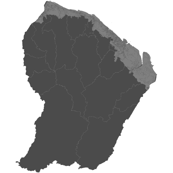
Occupation du sol 2005
Occupation du sol sur la bande littorale en 2005
Simple
- Date (Revision)
- 2019-02-04T16:09:33
- Date (Publication)
- 2011-07-24T22:51:00
- Citation identifier
- https://catalogue.geoguyane.fr/geonetwork/srv/5dc453f7-6fd4-49d3-a55c-b6d91671859b
- Point of contact
-
Organisation name Individual name Electronic mail address Role ONF Guyane
Pôle SIG
Owner
-
Régions de France
-
-
GUYANE
-
-
Domaines
-
-
OCCUPATION_SOL
-
ONF
-
GRAND_PUBLIC
-
-
GEMET - INSPIRE themes, version 1.0
-
-
Occupation des terres
-
- Use limitation
-
Aucune
- Access constraints
- Copyright
- Use constraints
- Copyright
- Classification
- Unclassified
- Spatial representation type
- Vector
- Denominator
- 50000
- Language
-
fre
- Character set
- UTF8
- Topic category
-
- Imagery base maps earth cover
- Description
-
GUYANE
))
- Description
-
GUYANE
- Description
-
GUYANE
))
- Reference system identifier
- EPSG / RGFG95 / UTM zone 22N (EPSG:2972) / 7.9
- Distribution format
-
Name Version ZIP
- OnLine resource
-
Protocol Linkage Name WWW:DOWNLOAD-1.0-http--download
https://catalogue.geoguyane.fr/geonetwork/srv/fre/resources.get?uuid=5dc453f7-6fd4-49d3-a55c-b6d91671859b&fname=nomenclature.xls&access=private nomenclature.xls WWW:LINK-1.0-http--link
https://catalogue.geoguyane.fr/rss/atomfeed/atomdataset/5dc453f7-6fd4-49d3-a55c-b6d91671859b Accès au lien ATOM de téléchargement
OGC:WMS-1.1.1-http-get-map
https://datacarto.geoguyane.fr/wms? occupation_sol_2005
OGC:WFS-1.0.0-http-get-capabilities
https://datacarto.geoguyane.fr/wfs? occupation_sol_2005
WWW:DOWNLOAD-1.0-http--download
https://telechargement.geoguyane.fr/download/5dc453f7-6fd4-49d3-a55c-b6d91671859b Accès au téléchargement des données
WWW:LINK-1.0-http--link
https://catalogue.geoguyane.fr/geosource/consultationWMS?IDT=15148 Accès à la visualisation des données
- Hierarchy level
- Dataset
Conformance result
- Date (Publication)
- 2010-09-28
- Explanation
-
Cf. Spécification pré-citées
- Pass
- Yes
- Statement
-
Pour la mise à jour 2005, la photo-interpretation repose principalement sur la BD Ortho IGN 2005.
La cartographie de 2005 étant une « mise à jour », sa numérisation s’est appuyée sur la couche d’occupation du sol de 2001.
La cartographie a été réalisée par photo-interprétation puis numérisation des zones identifiées.
Metadata
- File identifier
- 5dc453f7-6fd4-49d3-a55c-b6d91671859b XML
- Metadata language
-
fre
- Character set
- UTF8
- Hierarchy level
- Dataset
- Date stamp
- 2021-02-09T09:02:53
- Metadata standard name
-
ISO 19115:2003/19139
- Metadata standard version
-
1.0
- Metadata author
-
Organisation name Individual name Electronic mail address Role ONF Guyane
Pôle SIG
Owner
Overviews
Spatial extent
Provided by
