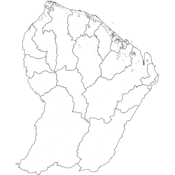
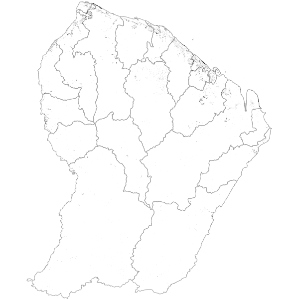
Suivi des déforestations par imagerie RADAR (données masquées) - Guyane - 2016
Données de suivi des déforestations par imagerie RADAR (Sentinel 1, 10m de résolution), fournies par ONF International. Elle permet d’observer les déforestations sur toute la Guyane durant l'année 2016 à partir du mois de juillet.
Simple
- Date (Publication)
- 2019-07-18T15:16:10
- Date (Revision)
- 2020-04-13T16:09:01
- Citation identifier
- https://catalogue.geoguyane.fr/geonetwork/srv/3f5548d0-8098-443d-a336-179a8acdb87c
- Status
- Completed
- Point of contact
-
Organisation name Individual name Electronic mail address Role ONF Guyane
Pôle SIG
Point of contact
-
Régions de France
-
-
GUYANE
-
-
OPENDATA
-
-
open data
-
données ouvertes
-
-
Domaines
-
-
ONF
-
GRAND_PUBLIC
-
FORET
-
OCCUPATION_SOL
-
AGRICULTURE
-
-
GEMET - INSPIRE themes, version 1.0
-
-
Occupation des terres
-
Usage des sols
-
- Use limitation
-
Utilisation libre sous réserve de mentionner la source (ONF)
- Access constraints
- Copyright
- Use constraints
- Copyright
- Spatial representation type
- Vector
- Denominator
- 5000
- Distance
- 10 m
- Language
-
fre
- Character set
- UTF8
- Topic category
-
- Environment
- Description
-
GUYANE
))
- Reference system identifier
- EPSG / RGFG95 / UTM zone 22N (EPSG:2972) / 8.6
- Distribution format
-
Name Version ESRI Shapefile
1.0
- OnLine resource
-
Protocol Linkage Name WWW:LINK-1.0-http--link
https://catalogue.geoguyane.fr/rss/atomfeed/atomdataset/3f5548d0-8098-443d-a336-179a8acdb87c Accès au lien ATOM de téléchargement
WWW:DOWNLOAD-1.0-http--download
https://catalogue.geoguyane.fr/geonetwork/srv/api/records/3f5548d0-8098-443d-a336-179a8acdb87c/attachments/S1_deforestation_2016.zip Déforestation 2016 OGC:WMS-1.1.1-http-get-map
https://datacarto.geoguyane.fr/wms?service=WMS&request=GetCapabilities deforestion_2016_onf
WWW:DOWNLOAD-1.0-http--download
https://telechargement.geoguyane.fr/download/3f5548d0-8098-443d-a336-179a8acdb87c Accès au téléchargement des données
WWW:LINK-1.0-http--link
https://catalogue.geoguyane.fr/geosource/consultationWMS?IDT=64888667 Accès à la visualisation des données
- Hierarchy level
- Dataset
Conformance result
- Date (Publication)
- 2010-09-09T00:00:00
- Explanation
-
cf. la spécification citée
- Pass
- Yes
- Statement
-
Cette donnée est générée à partir de séries temporelles d’images satellite RADAR Sentinel 1, dont la durée de revisite est de 5 jours et la résolution de 10 mètres. L’algorithme repère une surface qui est comparée à 17 autres dates. Si le signal se situe hors de la zone normale, on considère alors cette surface comme un changement qui pourrait être dû à une déforestation et une date lui est attribuée.
Limites : une forte pente altère le signal
Metadata
- File identifier
- 3f5548d0-8098-443d-a336-179a8acdb87c XML
- Metadata language
-
fre
- Character set
- UTF8
- Hierarchy level
- Dataset
- Date stamp
- 2020-04-16T13:14:59
- Metadata standard name
-
ISO 19115:2003/19139
- Metadata standard version
-
1.0
- Metadata author
-
Organisation name Individual name Electronic mail address Role ONF Guyane
Pôle SIG
Point of contact
Overviews
Spatial extent
Provided by
